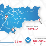
Krakow : Identification of metropolitan area
Brief demographic and geographical data
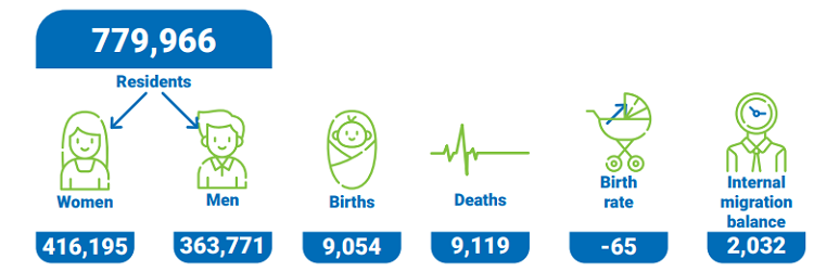
Kraków is currently populated by about 779,966 permanent inhabitants, but every year it is also home to several dozen thousands of people residing temporarily in the City, mainly students. The economic importance of Kraków is reinforced by the demographic potential of the region, as about 8 million people live within a radius of 100 km of the City.


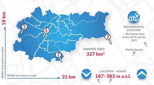
Kraków is the second largest city in Poland. Surface of Krakow: 326.8 sq. km. The city stretches from the North to the South ca. 18 km, whereas from the West to the East – ca. 31 km. Cracow is the capital of the Malopolska voivodeship, the metropolitan centre of the Cracow agglomeration. Cracow is located in the south of Poland, on the Vistula river, which is the longest river in Poland. The city is located at a meeting point of several geographic regions: Sandomierz Basin, West-Beskidian Piedmont and Polish Jurassic Highland. The City is located at the crossing of important transportation routes, close to the Silesian agglomeration and the southern border of Poland. The broad network of railway connections enables fast and comfortable travels by train: you can reach Warsaw in 2.5 hours and Gdańsk in 6 hours. In a couple of hours you can travel to Vienna, Prague, Bratislava, Berlin and Budapest.
